While looking for a guiding idea for the exhibition space at MARGS – in a Biennial with a theme of territoriality – we focused on three routes in Rio Grande do Sul that seemed to offer distinctive views that were fertile for interpretation. One idea lay in the fact that political demarcations of nations, in the case of Brazil and its neighbours, do not always correspond to a cultural autonomy enclosed by those boundaries. I am not here referring to the much debated subject of the Amazon (a cultural territory covering Venezuela, Colombia, Bolivia, Brazil, Peru, Ecuador, Suriname, Guyana and French Guyana), with political boundaries that are relatively recent and established after the colonial period. The state of Rio Grande do Sul, contains fine examples of two of these similar political-cultural realities: the region of the pampa and the Missions.
Travelling through the pampa – in Rio Grande, Uruguay or Argentina – clearly shows that conditions are the same irrespective of the name of the country in each region. From the point of view of the landscape – flatness stretching into the distance with gentle undulating grassland, the big sky –, the culture of cattle as the basis for the economy, or country people with their customs, way of dress, working and relaxation.
As one of the artists who travelled through those spaces, Marina Camargo, so aptly put it, “The frontier is a region in itself, with its own characteristics, where the gauchos are Uruguayan, Argentinian and Brazilian, where they speak in Spanish and reply in Portuguese, where you pay in Reais and receive change in Uruguayan pesos.
I was expecting a clear, more defined separation between two places, like on the maps that I draw: a clear and precise dotted line separating countries […]. The pampa dissolves frontiers […].”
A similar example is offered by the region of territories occupied by the Jesuit Missions during the colonial period – whether in Brazil, Paraguay or Argentina, where the villages culturally planned by the Jesuits had a harmony of objectives: in terms of religion, work and artistic and architectural activity.
The 1750 Treaty of Madrid established boundaries. Shortly afterwards, the Jesuits were expelled from the region – from the Portuguese colony in 1759 and from the Spanish dominions in 1767. But the presence of the Guarani and their descendants in the region extends to the state of São Paulo, since after the “Great War”, the Paraguay War of the late 19th century, the Guarani walked to the eastwards for religious reasons. But that region shared between Brazil, Paraguay and Argentina remains as a cultural territory, despite political borders, as a particular space of ruins, peoples and traditions which continue to this day.
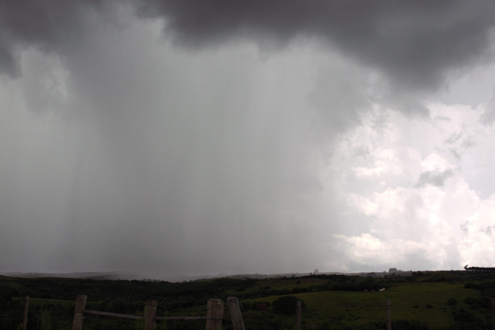
A dramatic region in terms of its geological design, with great rifts broken thousands of years ago, and unrivalled beauty that leave visitors speechless, is the Canyon region in Rio Grande do Sul on the route towards Santa Catarina, between the Serra Geral and the north coast of the state. It is a place equally without frontiers, where the eyes of the traveller or viewer are dominated and directed by the force of the high precipices and dazzled by the waterfalls and dense vegetation.
Another region can also be added within the space of Rio Grande do Sul, also without a frontier, and apparently invisible, which is the Guarani aquifer, the largest freshwater reserve on the planet, located underground in parts of Argentina, Uruguay, Paraguay and Brazil (the Southern states, São Paulo, Minas Gerais, Mato Grosso and Mato Grosso do Sul), with a capacity for supplying the world’s population for more than 100 years.
Thinking about those territories without frontiers, we asked: what are political-geographical boundaries other than expedients created by men for planting a flag, designing a coat of arms, composing an anthem and requiring documents for crossing a frontier they themselves have demarcated?
Travelling many kilometres of roads and towns in the multiple and beautiful Rio Grande Sul, situated in a country like Brazil (inhabited by dozens of different indigenous ethnic groups), colonised by Portuguese, Jesuits, Africans, Germans, Italians, Arabs, and Jews, one can consider how relative the terms “frontier” and “boundary” are, in their implications of “national” demarcation!
In fact much more flavour seeps through the edges and intersections than is contained by the hard line dividing regions related for decades. As someone once said to me in Colombia, on mentioning the undoubted cultural continuity between that country and Venezuela, “Because the Morales from here are the same as the Morales from there, and there’s no point in thinking that we are very different […]” – probably referring to the ties inherited from the Viceroy of New Granada during colonial times.
The challenge for the artists invited for the Beyond Frontiers exhibition was to choose what to do in one of those three regions: the pampa, the old Missions region, and the canyons region. And from that choice they had to produce a visual interpretation for the 8th Biennial that recorded their creative practice in the face of experiencing these physical-cultural realities.
So we deliberately invited nine artists from different generations: from Rio Grande do Sul (Lucia Koch, Carlos Vergara, Marina Camargo, Carlos Pasquetti), from Belo Horizonte (Cao Guimarães), from São Paulo (Felipe Cohen), from Argentina (Irene Kopelman), from Colombia (Jose Alejandro Restrepo) and a guest from Israel (Gal Weinstein).
(…)
Marina Camargo
Marina Camargo is part of the youngest generation of Rio Grande do Sul artists, and is currently working in Munich with the benefit of a DAAD grant. Signs, letters, words, the visible world, and particularly the urban environment are recurrent themes of her work. Her creative approach involves visual enigmas with the horizon line through mutations brought about by photography, a fascination for map-making of the sky and earth, independent of political connotations. As she herself recalls, “If maps are drawings to represent places, they are like letter forms, which are also drawings in the place of spoken language, giving form to written language”. Her journey to the extreme south of the country provided by the Mercosul Biennial has inspired Marina Camargo to produce a series of works for this year’s event, bearing in mind the “cultural and geographical identity of a region”, poetically adding that there is “a dilution of frontiers, which are neither visible or relevant”. The actual similarity of the skies in these areas is very like the appearance of the water of the seas in neighbouring countries.
The journey to the pampas region in February of this year was the stimulus for the project Tratado de limites, the title of Marina Camargo’s work for this Biennial, when the artist recorded a “personal geographic boundary” in the region. The works connect together as a group to form a whole encompassing poetic mapmaking, the sound of the wind and the record of an installation. One of these pieces is a map made of ice, of the southern region of Mercosul, defining the boundaries by their “seas, lakes or rivers”, as the artist puts it. As the ice melts, the boundaries crumble. In her fascination for the pampas region, which Marina especially identifies with the Uruguayan town of Tacuarembó, there is a dissolution of frontiers “which are neither noticeable or relevant”. At the same time, the charted region focused on through its skies indicates a similarity with the waters of the seas, where frontiers or boundaries are undefined.
[ originally published in the Catalogue of 8th Mercosul Biennial, in 2011 ]